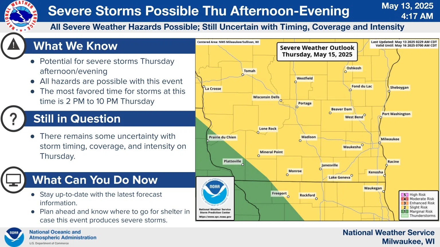
National Weather Service forecasters are becoming more confident in the potential for severe storms on Thursday afternoon and evening.
A cold front is expected to track from west to east through the state beginning on Thursday afternoon. Ahead of it, showers and thunderstorms are forecast to develop in the humid air in Wisconsin, as early as 2 p.m., but with the greatest severe potential during the evening hours closer to 9 or 10 o’clock.
Were it not for cold Lake Michigan air, temperatures here would probably hit near record highs in the 80s, but we’ll be limited to the 60s. Regardless, the energy of the inland air will be enough to fire up the storms, and it appears that ingredients could combine to generate damaging winds, large hail, and possible tornadoes.
It’s too soon to say much more at this time, and so the National Weather Service advises keeping up with the forecast.


Comments