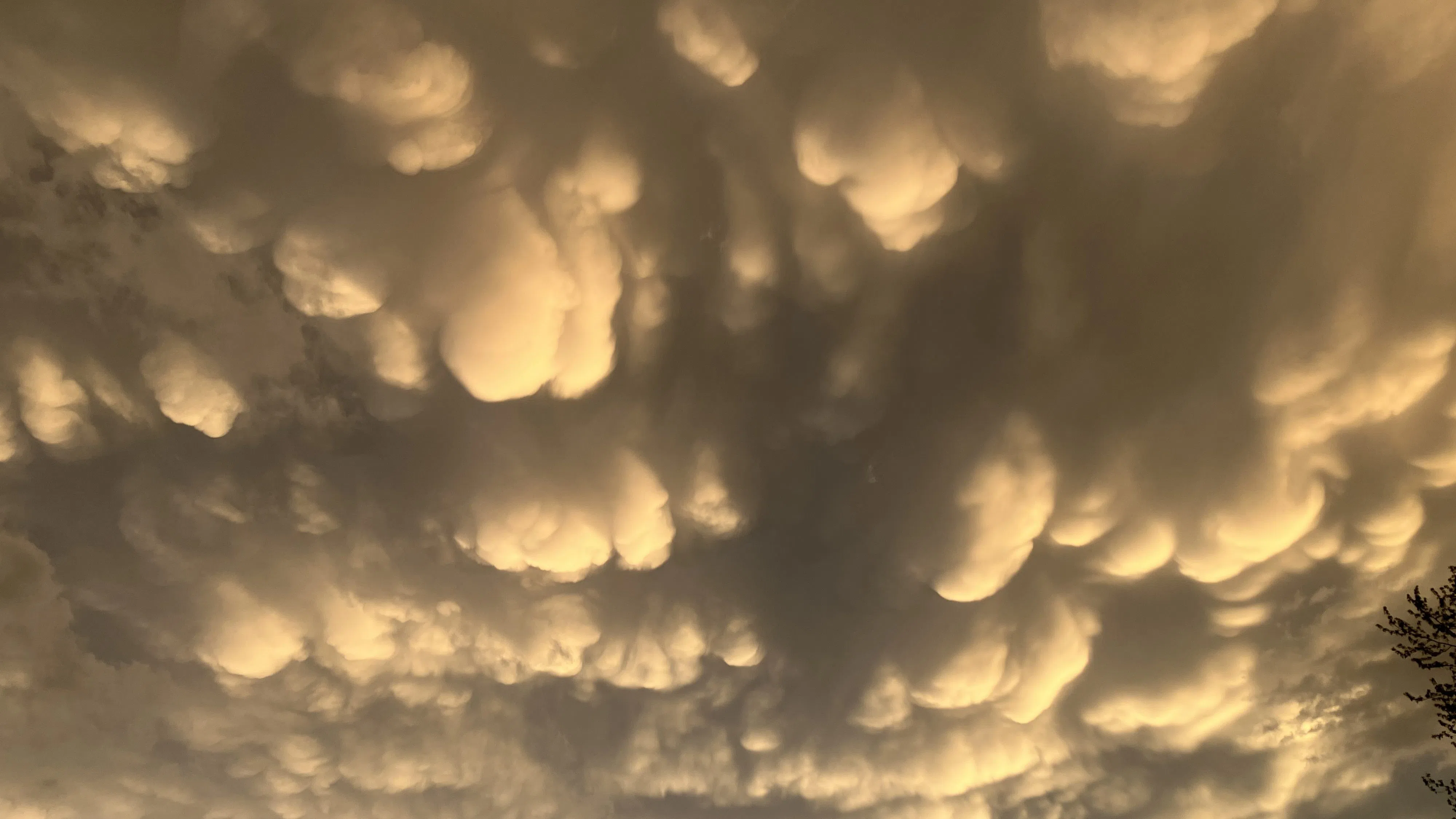
Forecasters “hit the nail on the head” concerning severe thunderstorms that moved through Wisconsin and Sheboygan County on Thursday, spawning widespread large hail, high winds and scattered tornadoes especially to our west.
Although a funnel cloud was spotted over Kohler it did not touch down, but straight-line thunderstorm winds were enough as they downed trees and power lines, while lightning strikes contributed to hundreds of outages in the County. By 4:30 this morning there were still 578 customers in the dark, mostly in the southwest half of the county. Storms also generated bountiful rain that, while helping to reverse overly dry conditions, also flooded roadways, and pea-size hail was widespread in the county. The official rain gauge at the airport recorded .88”, while 2-3/4 inches of rain fell in Cedar Grove.
Not that anything resembling a repeat is in the offing, still the National Weather Service did advise that isolated strong to severe storms could happen this afternoon. The peak potential here comes between 5 and 8 p.m. with high winds and large hail the primary threat. After that, a cool, breezy, and somewhat damp weekend is in store with winds today and tomorrow remaining gusty to over 30 mph at times. Those winds help push high temps into the 70s today, while cooling through the 60s Saturday and 50s on Sunday.
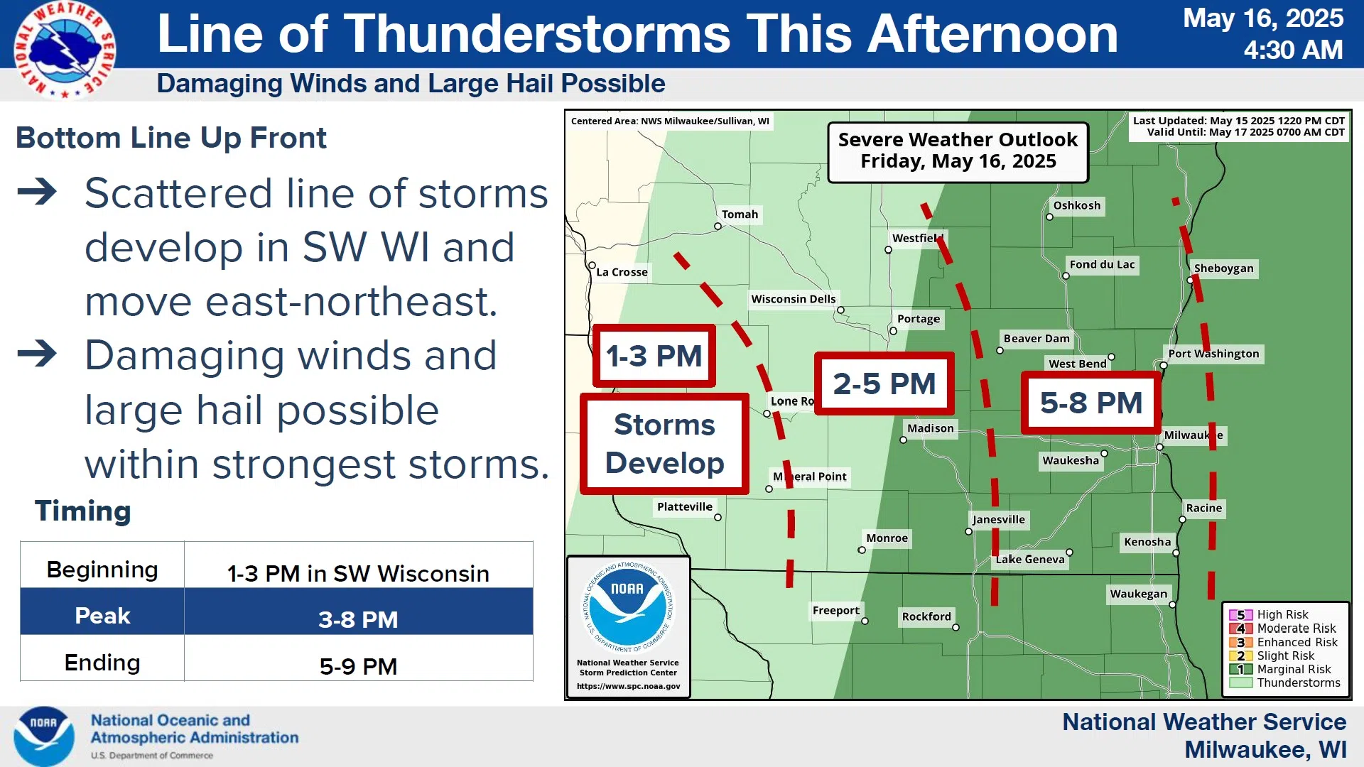
NWS Graphic


Comments